Water Poverty Initiative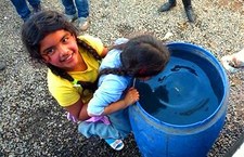
H2020’s Water Poverty Initiative uses mobile devices to collect data on water quantity, quality, access and price in communities. We combine this “crowdsourced” information with data from other sources (like water poverty reports and satellite images) and publish it using a map-based format (see interactive map on right).
The Water Poverty Initiative improves public knowledge about water problems in slums, increases the efficiency with which information is gathered and published, and stimulates implementation of scalable solutions. |
Watershed Mapping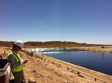
H2020’s Watershed Mapping projects use smart phones to capture, analyze and publish “just in time” data at a watershed level.
Watershed Mapping improves public knowledge and involvement in conservation, improves the efficiency of data management for corporations and fosters better per-dollar returns on policies relating to watershed management. By the end of 2012, our goal is to deploy this application in three significant watersheds in Chile, New York and California. |
Renewable Exploration
